Key Technologies for UAV Navigation and Positioning
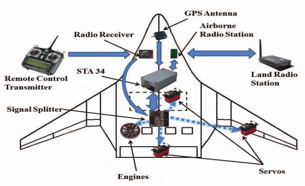
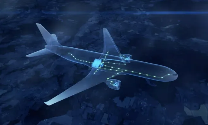
Technical overview of UAV navigation and GNSS fundamentals, covering positioning errors, differential corrections, sensor fusion, and radar-altimeter assistance.
Technical overview of UAV navigation and GNSS fundamentals, covering positioning errors, differential corrections, sensor fusion, and radar-altimeter assistance.
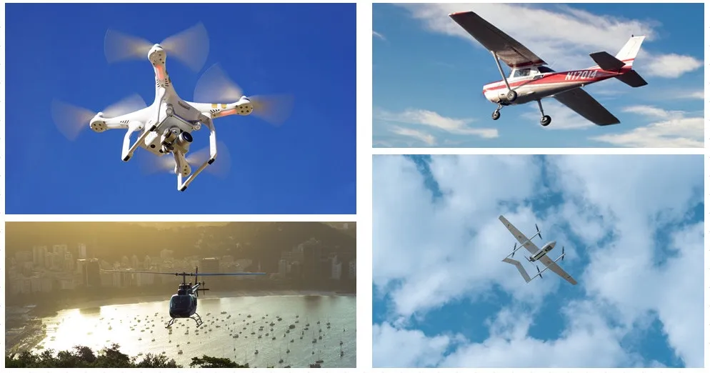
Technical overview of drone types and core technologies, summarizing platform categories and systems for autonomous flight, navigation, sensing, and power management.
Analysis of Space Force M-code adoption: GPS receiver, satellite constellation, ground control and ASIC integration challenges; recommends reassessing handheld requirements.
Overview of gyroscope role in drone control systems: attitude measurement, stabilization, sensor fusion with accelerometers and GPS, flight controller control loop.
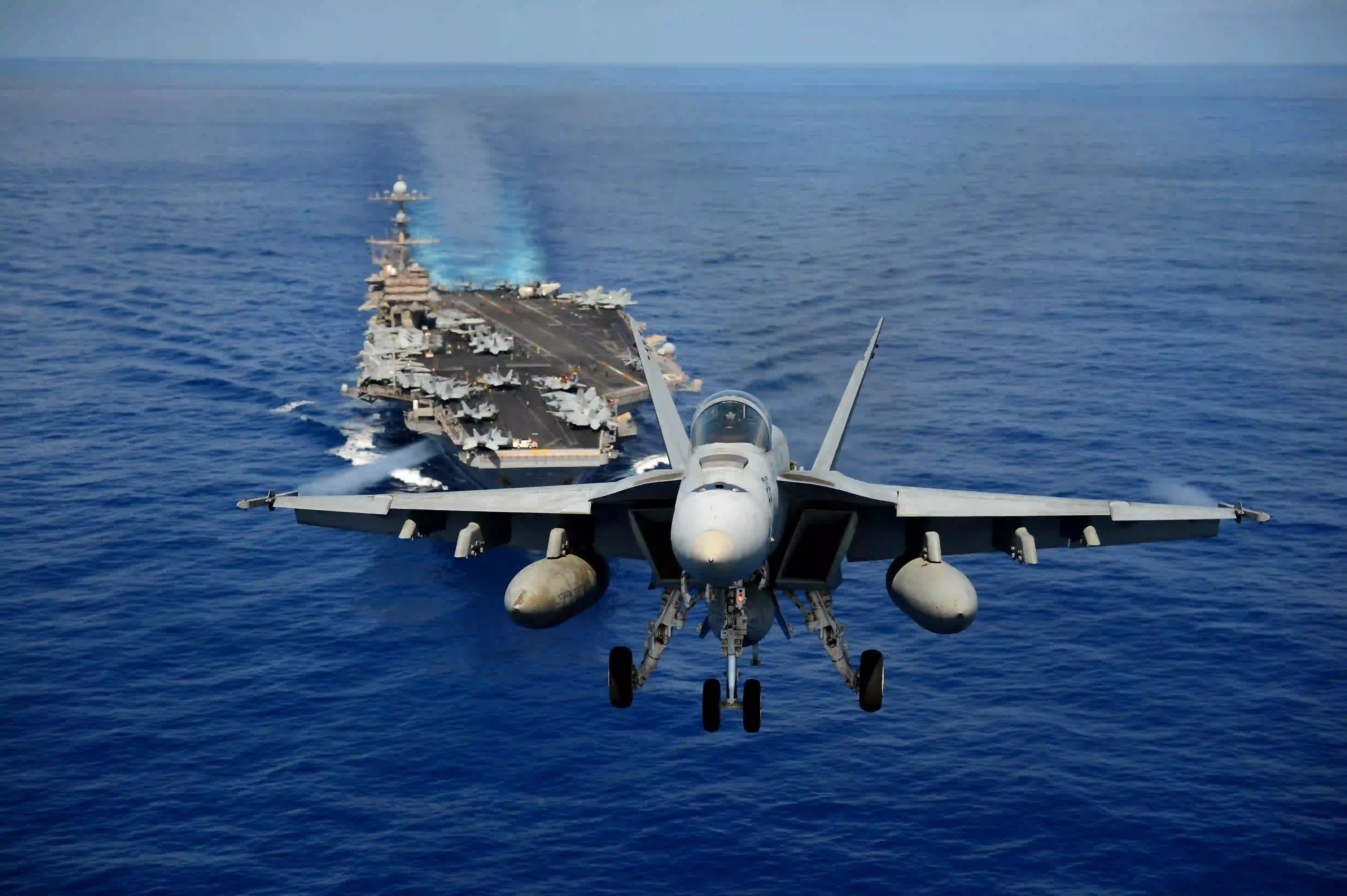
Overview of carrier-based aircraft: history, missions, and key design differences from land aircraft, including reinforced airframes, launch/recovery gear, and helicopters.
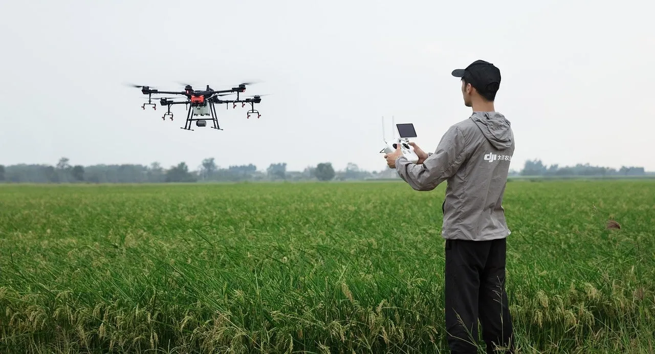
Analysis of payload vs. battery selection for agricultural drones, detailing typical battery parameters (voltage, capacity, C-rating) across common payload ranges.
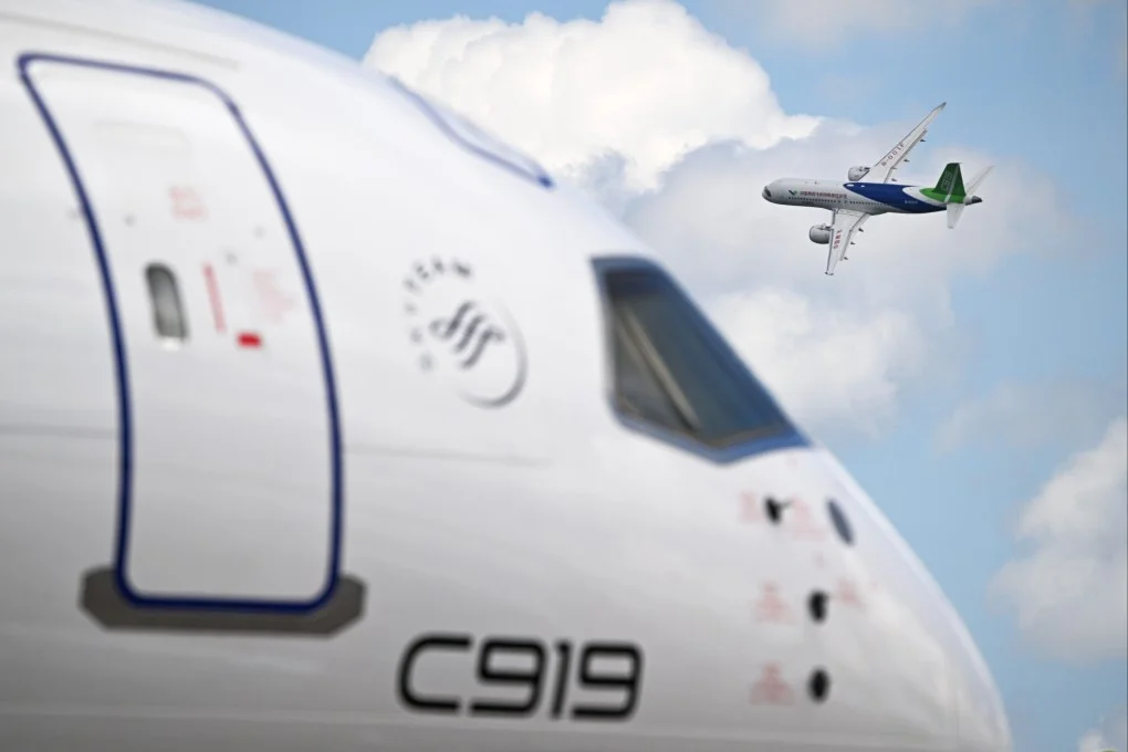
Analysis of the C919 program: development challenges, technical route, manufacturing and certification processes, technological innovations and future localization roadmap.
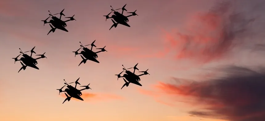
UAV and 5G integration overview: key applications - surveillance, delivery, inspection, agriculture, emergency, swarms - challenges in coverage, interference and mobility.
Examines drone data-security risks in conflict and advocates V-band millimeter-wave 5G tactical links for low-detection, resilient connectivity.
Technical overview of electric aircraft, covering electric propulsion, battery specific energy needs, high-power motors, power electronics and system design.
China's new Interim UAV Regulations explained with DJI guidance on real-name registration, pilot license requirements for consumer drones, geofencing, and countermeasures.
U.S. Air Force trial uses drone inspection and AI to accelerate C-17 aircraft checks, improving detection rates and delivering mapped, analyzed imagery for damage assessment.