Overview
Remote sensing applications that integrate artificial intelligence use new technologies such as AI and big data to upgrade and expand geographic information and urban planning workflows, and to promote intelligent processing of remote sensing data through collaboration between industry, academia, and research institutions.
Remote sensing combines advances in space science, electronics, optics, computer communication and geoscience. It is an important component of contemporary high technology.
Definition of Remote Sensing
Remote sensing detects electromagnetic radiation from the Earth's surface using sensors located on platforms remote from the ground, such as towers, balloons, aircraft, rockets, artificial satellites, spacecraft and shuttles. The detected signals are transmitted, processed and interpreted to monitor and investigate Earth's resources and environment.
Remote sensing acquires high-altitude, large-area observations from a distance, including multi-location, multi-spectral, multi-temporal and multi-altitude imagery and repeatedly enhanced data. It can provide comprehensive, instantaneous or synchronous regional information, which offers significant advantages for environmental science applications.
Remote sensing developed in the 1960s from aerial photography and image interpretation along with advances in space technology and electronic computers.
History of Remote Sensing
Remote sensing has progressed through three stages: ground-based, airborne and spaceborne remote sensing.
Broadly, remote sensing began with the introduction of photography in the early 19th century (1839). By the mid-19th century (1858), balloon-based aerial photography was in use. After the airplane appeared in 1903, aerial photography experiments began, and aerial imagery was applied to topography and cartography, marking the start of modern remote sensing.
With the development of radio electronics, optics and computer technology, remote sensing advanced rapidly by the mid-20th century. Sensors evolved from first-generation aerial cameras to second-generation multispectral cameras and scanners, and quickly to third-generation solid-state scanners (CCD). Remote sensing has broad prospects for further development.
Classification of Remote Sensing
To support research and application, remote sensing can be classified from different perspectives:
1. By sensor platform
(1) Ground remote sensing: sensors are mounted on ground platforms such as vehicle-mounted, shipborne, handheld, fixed or mobile elevated platforms.
(2) Airborne remote sensing: sensors are mounted on aircraft, balloons, model aircraft and other airborne vehicles.
(3) Spaceborne remote sensing: sensors are mounted on spacecraft such as artificial satellites, spacecraft and orbital laboratories.
2. By sensing mode
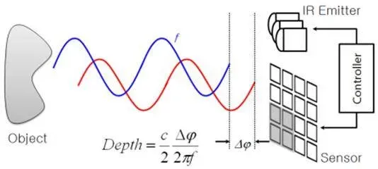
(1) Active remote sensing: the sensor actively transmits electromagnetic waves of certain wavelengths to the target and records the waves reflected back from the target.
(2) Passive remote sensing: the sensor does not emit electromagnetic waves to the target, but directly receives and records solar radiation reflected by the target or radiation emitted by the target itself.
3. By spectral band
(1) Ultraviolet remote sensing: detection band roughly 0.3-0.38 μm; visible light: roughly 0.38-0.76 μm.
(2) Infrared remote sensing: detection band roughly 0.76-14 μm.
(3) Microwave remote sensing: detection band roughly 1 mm-1 m.
(4) Multispectral remote sensing: detection bands within the visible and infrared ranges.
4. By application or theme
Categories include environmental remote sensing, atmospheric remote sensing, resource remote sensing, ocean remote sensing, geological remote sensing, agricultural remote sensing, forestry remote sensing, and others.
Remote Sensing System Components
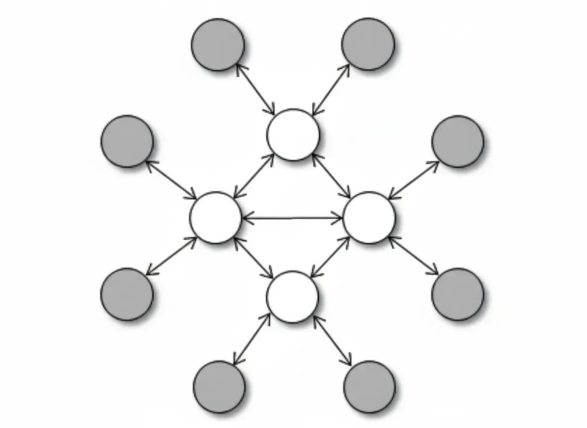
The remote sensing system encompasses the theories, methods, equipment and techniques required for target identification. It includes spatial information acquisition, data transmission and reception, data processing, and information extraction and application systems. This enables multi-level, multi-perspective, multi-domain observations of the globe and is a key modern method for obtaining Earth resource information.
1. Spatial information acquisition
Acquisition of spatial information about Earth surface targets is achieved through coordination between remote sensing platforms and sensors.
(1) Platforms: carriers such as various aircraft, satellites, rockets, high-altitude balloons, towers, mobile elevated vehicles and crewed spacecraft.
(2) Sensors: instruments that remotely measure environmental radiation or reflected electromagnetic waves. Based on the acquisition method, sensors are classified as active or passive.
2. Data transmission and reception
Transmission and reception systems include satellite ground stations and communication satellites used for data relay. Information received from surface targets is recorded on film or digital media. In addition to imagery, spaceborne transmissions to ground stations include orbit parameters and auxiliary sensor data.
3. Data processing
Remote sensing data processing, supported by computers and image processing equipment, comprises techniques for converting received imagery into information that reflects the properties and status of surface targets. Processing includes image correction, transformation, enhancement and interpretation.
Geometric correction is central to image processing. Deep processing can produce 4D products and urban 3D maps for practical applications. Image interpretation is the basis for applying remote sensing information and includes both visual interpretation and computer-based interpretation.
4. Information extraction and analysis
For specific applications, remote sensing data are processed, analyzed, interpreted and mapped using a set of equipment, techniques and methods.
Information extraction targets specific thematic information from imagery to support domain applications or decision-making. Information analysis uses models and methods to determine target properties and to analyze relationships between target attributes and their environment.
5. Accuracy assessment
After image interpretation, accuracy assessment evaluates the completeness, reliability, timeliness and clarity of interpretation products.
Current Status of Satellite Remote Sensing in China
Over more than three decades, the scope of satellite remote sensing has expanded from standalone sensing to a broader spatial information technology domain that includes remote sensing (RS), geographic information systems (GIS) and global positioning systems (GPS). These technologies have become integrated into economic, social and national security applications, and their development and application have become an indicator of comprehensive national capability.
With the establishment of spatial information infrastructure, the maturation of distributed databases, and improvements in high-performance computing and networked processing, spatial information technology has become an important high-technology application industry for transitioning from industrialization to an information-based society.
After focused research efforts during the national development plans of the 1990s, integrated capabilities for RS, GIS and GPS began to take shape, laying the foundation for practical 3S (RS, GIS, GPS) applications. In practice, 3S technologies have provided large amounts of macro-level decision support information for economic construction, monitoring major natural disasters, and resource surveys, yielding substantial social benefits.
As technical applications transitioned from state-led efforts to industry adoption, these technologies were progressively embraced by land, agriculture and forestry sectors, and became important references for regulation, policy-making and technical modernization in those industries.
Since the 1970s, China has emphasized remote sensing development and application, achieving notable progress in sensing systems, application systems and GIS.
National resource and environmental information services
A national service has been established that centers on 1:250,000 land-use data and includes a national resource and environmental spatial database, two ministry-level service systems, three provincial demonstration systems and five county-level systems. Regional technical systems such as the Pearl River Delta 4D system (digital elevation models DEM, digital orthophoto libraries DOQ, digital thematic maps DRG and digital thematic information) and a nationwide resource and environment information system were developed.
The 1:100,000 land-use-based national database contains more than 30 key resource and environmental elements and has defined statistical data standards, parameters, formats and accuracies. Two ministry-level service systems were developed for the Ministry of Agriculture and the State Forestry Administration. Based on the baseline database, the Ministry of Agriculture performed regional arable land analyses supporting decision-making. The forestry system supported ecological and environmental construction efforts.
The service system has been widely applied. The national resource and environment database has been used by over 200 organizations, including national planning, agriculture, water resources, environmental protection, forestry, statistics and aerospace offices, among others. Several provinces have implemented these systems. For example, the water resources authority used the database to complete a nationwide 1:100,000-scale soil erosion remote sensing survey in nine months. The environmental authority planned an ecological monitoring system based on the database. The database directly supported monitoring of the 1998 major flood disasters and was adopted as a decision reference by national leaders.
Disaster monitoring and assessment operations
A disaster remote sensing monitoring and assessment system consists of three parts: a macro-scale dynamic monitoring system for disasters, an airborne SAR real-time transmission system, and a flood disaster assessment system.
Macro dynamic monitoring and assessment cover floods, droughts, wildfires and snow disasters at a national scale, providing regional coverage and damage assessments. The system shares products and data via network communications and provides disaster mitigation information to application departments using VSAT and Internet communications.
The airborne SAR real-time transmission system enables remote transmission, reception and processing of 3 m SAR imagery, and supports seven types of real-time processing. The system has played a key role in monitoring major natural disasters, supplying detailed data to government offices and national flood control commands. For sudden floods, the system can deliver inundation extents and flooded area estimates within two days and full assessment reports including affected populations and damaged buildings within a week. Nationwide drought monitoring achieved a 10-day reporting cycle. During the 1998 Yangtze River floods, major remote sensing units used six satellites and three airborne systems to obtain comprehensive coverage and more than 100 disaster images, supporting monitoring, assessment and reconstruction efforts. This system has been integrated into the national flood control command system.
Domestic GIS software development and application
Starting from importation and adaptation, and guided by policies to introduce competition, encourage iterative development and strengthen research, China supported domestic GIS software development through research projects and software evaluation. A set of proprietary GIS packages were developed; some reached near international technical levels, enabling the emergence of high-tech enterprises and the industrialization of research outcomes. Domestic GIS software has been adopted across sectors and yielded economic benefits and initial industry scale.
In various national and scientific applications, domestic software has demonstrated its capabilities. Examples include producing electronic maps for Hong Kong and Macau and supporting aerospace operations such as spacecraft attitude control during launch. During the 1995-2000 period, foreign software monopolies were reduced and a domestic GIS software industry emerged; further growth was expected in subsequent national development plans.
National spatial data infrastructure
Development of a national spatial data infrastructure is a prerequisite for widespread GIS applications. China established 10 base digital production centers for fundamental geographic information, pursued data sharing and standardization, and achieved scaled production of geographic information products. Base datasets at scales of 1:4,000,000, 1:1,000,000 and 1:250,000 have been completed, along with key river-basin datasets at 1:10,000 and 1:50,000 scales. With support from science ministries, a national-level spatial information sharing and service platform, the China Spatial Information Network, began construction in 1999 and has taken shape.
Frontier technologies and application systems
To address frontier topics such as hyperspectral sensing, radar remote sensing, parallel processing of large remote sensing datasets, multi-source data fusion and rapid update, research has developed detailed hyperspectral crop classification models, radar-based rice information extraction and classification systems, parallel processing techniques for large datasets, fusion techniques for remote sensing and geographic systems, and rapid generation and update methods for geospatial data. These constitute a distinctive technical system that has been applied and validated in international cooperation.
Marine environment monitoring
With extensive maritime areas and a long coastline, China has strategic interest in comprehensive marine and coastal monitoring. Supported by national high-technology programs, a three-dimensional marine environment monitoring system was established, including nearshore automatic monitoring, high-frequency surface wave radar monitoring, marine remote sensing applications, system integration and demonstration experiments.
Trends in Remote Sensing
Advances in science and technology are driving spectral imaging, multi-polarization radar, multi-directional optical sensing, intelligent geoscience analysis, dynamic environmental research and quantitative resource studies. These improvements increase real-time capability and operational effectiveness, moving remote sensing toward multi-scale, multi-frequency, all-weather, high-precision and rapid operation.
1. Advanced image acquisition
(1) With the development of high-performance sensors and growing demands for high-precision data in environmental and resource monitoring, high spatial and high spectral resolution are major trends in satellite imagery acquisition.
(2) Radar remote sensing offers all-weather, round-the-clock imaging and penetration capabilities, which are advantageous for Earth observation.
(3) Improved methods for separating land surface temperature and emissivity and for quantitatively estimating land surface energy exchange will play a larger role in global climate research.
(4) Integrated Earth observation systems composed of space, airborne and ground observation networks will provide positioning, qualitative and quantitative data across all-weather, full-time and full-space domains.
2. More scientific processing methods and models
Fusion and composite applications across multiple platforms, levels, sensors, times, spectra, viewing angles and spatial resolutions are a key development direction. Further research is needed on uncertainty-aware remote sensing models and AI-based decision support systems.
Rapid advances in satellite remote sensing have ushered in an era of three-dimensional, multi-level, multi-angle, full-domain and all-weather Earth observation. After decades of development and recent rapid progress, satellite remote sensing is well positioned to advance further, including toward commercial applications. Overall, remote sensing will become increasingly sophisticated and its role in environmental science and other domains will continue to expand.